by Patrice Delétang
![]()
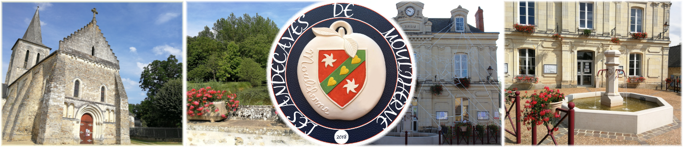
MOULIHERNE
Etymology
The historical and geographical dictionary of Maine et Loire contains references going back to : MOLENDINUM HERLE in 1040 (in Latin : place where we grind, wind mill) to MOLIHERNA in 1235. The oldest name seems to recall “Moulin Herle”. There have always been a lot of mills on “La Riverolle” which accredits this thesis. Moulin Herle would become Mouliherne in time.
Geology
We should first and foremost remember that the sea partly covered this region, and palaeontology proves it.
Near the end of the Jurassic (secondary century), the central plate fuses with Brittany and East Angers. Peaks arise from water (Blou, Brion, la Pellerine and Mouliherne) surrounding the area around the Lathan.
In between these two plateaux (especially the Butte de Blou and the one of Brion) a huge lake was formed, at first it consisted of salt water and fresh water. This lake would be filled up bit by bit with tertiary deposits.
After the water recedes, it becomes, in the Quaternary period, a swamp of moor and forests was formed, which was drained progressively by the Lathan and its tributaries.
Marine sandstone dominates. In the North and North-East, we find lake marls and limestones.
The ancient sea bottom lake is mainly made up of old and recent alluvium deposits containing sands, clay sands, and gravels.
The Lathan created this fertile part of Mouliherne.
To understand the history of a locality and its inhabitants it is necessary to understand first the history of the soil which is often closely linked.
Geography
The village of Mouliherne is located in the North-East of the department and extends over 4078 ha of which more than 2000 ha is forest, that ranks it as one of the most wooded Village of the department.
It is bordered by AUVERSE in the North, LINIERES-BOUTON in the East, VERNANTES in the South and JUMELLES, LE GUEDENIAU in the West.
The Greenwich meridian crosses slightly to the West of the village and local time at the church belfry marks an advance of four seconds and a fifth.
Landscape
Its landscape is essentially composed of :
– two plateaux, one North of the town at an altitude of 91 m and the other one East of the town.
– in between these two plateaux opens a small valley in which flows “La Riverolle”.
– as a result of its geological formation, the elevated country is composed of a hillside chain Pimont, La Butte, Montruchon, and la Touche, which stopped the lake water in the North.
– the town of Mouliherne is situated today on the old lake arm that existed in between Pimont and La Touche and in wich arrives La Riverolle.
– a plain that descends from the South down to the edge of the watercourse le Lathan (natural limit of southern town) with an altitude that falls at a little less than 40 m. This plain, after being a swamp then moor and wood, will become fertile for human activity.
Hydrology
The watercourse of the Lathan is a natural limit of the southern village on a length of about 7 to 8 km which contributes to the fertility of the land.
The source of the Vaux stream is located to the East of the Vaux house.
The Racinay stream irrigates the North-West then flows through the town of Jumelles.
The principal watercourse is “La Riverolle”, probably short for elegant river. Its flow is much more regular and is a joy to fishermen (actually ranked in 1rst category). It has its origins in Auverse then is filled by the Gravouillard and the Creux tributaries upstream of Mouliherne and a few small streams that drain the village of which the most conspicuous is the fountain St Germain.
This watercourse of 14,5 km fed in the past many mills (for wheat, oil, tan or equipped to cut wood).
Key resources
Due to its geological formation, Mouliherne supplied stone quarries, sandstone quarries for paving that built bridges and pavements for the maintenance of every road of the region and the main ones which were exploited are at Chêne au Chat, at the foot of La Touche, and near les Verriers. Many sandpits (loamy sand at La Croix de Noël, La Touche and thinner sand at La Fontaine) were used for mortar materials.
The Chêne au Chat still exists and its extension is in present local planning.
The limestone and clay allowed Mouliherne to have, a 150 years ago, four lime ovens or brick and tile ovens. The most important centre situated at l'Oisellerie survived up to 1975.
The forest : Mouliherne is one of the most wooded towns of the department, if not the most wooded actually.
In 1950, there were 1850 ha of forest and moor against 2200 ha of land and field. Today we count 2100 ha of forest. The forest area grows year after year at the expense of the agricultural land.
With such a surface area of different species, wood has always represented an important activity in Mouliherne.
There has been as many as four sawmills; the St Barnabé sawmill, the Plaisance sawmill, the one of Frambouilles, and the most important one in business today but perfectly modernized, the Oisellerie sawmill passed down from father to son by the Laurent family.
The forest was also behind many other economic activities and we could find in Mouliherne timber merchants, wheelwrights, sawyers, splitters, lumber, naval stores, coal, turners, carpenters, coopers, clog makers, directors of water and forests.
Agriculture : if Mouliherne stays more unique with its forests, its tiles, its lime and its stones, during a long time it didn't offer anything in its infertile soil and rearing animals represented the principal activity in this agriculture area, hence 5 agricultural shows a year.
Man cleared this uncultivated land that was in the past covered with moor and forest swamps. Today the crops are diversified and represent a certain wealth.
The mills : La Riverolle, with a good flow, allowed the operation of many mills (for wheat, oil, tan or equipped to cut wood).
Watch this space…